Angles are everywhere in navigation — and the units you use depend on whether you're sailing, flying, or doing astronomy
Degrees are universal in everyday life. But anyone working in navigation, astronomy, or surveying encounters the full range of angle units — and understanding why different fields use different units explains something deeper about how each discipline thinks about angular measurement.
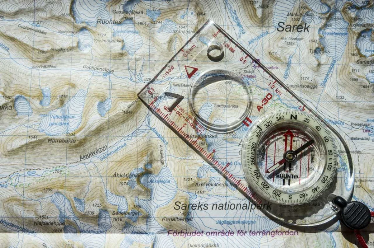
Compass bearings and azimuth: navigation angles
In navigation, direction is expressed as a bearing — an angle measured clockwise from north. A bearing of 0° (or 360°) is due north, 90° is east, 180° is south, 270° is west.
True bearing vs magnetic bearing:
A true bearing is measured from true (geographic) north — the direction toward the North Pole. A magnetic bearing is measured from magnetic north, where a compass needle points. The difference between them is called magnetic declination (or variation).
Magnetic declination varies by location and changes slowly over time:
- London, UK: approximately -0.5° (west declination)
- New York, US: approximately -13° (west declination) — a compass in New York points 13° west of true north
- Sydney, Australia: approximately +12.5° (east declination)
For precise navigation, especially at sea or in aviation, this correction is essential. A pilot flying from New York to London without correcting for magnetic declination would arrive miles off course.
Relative bearings: in maritime navigation, bearings relative to the ship's heading are used for collision avoidance. "Bearing 045 relative" means 45° to the right (starboard) of the ship's current heading.
GPS coordinates and degrees-minutes-seconds
Geographic coordinates express position in degrees of latitude (north-south, −90° to +90°) and longitude (east-west, −180° to +180°). These are commonly expressed in three formats:
Decimal degrees (DD): most common in digital contexts
51.5074° N, 0.1278° W (London)
40.7128° N, 74.0060° W (New York)
Degrees-minutes-seconds (DMS): traditional format, used on maps and in some navigation systems
51° 30' 26" N, 0° 7' 40" W (London)
The conversion:
- 1 degree = 60 minutes (')
- 1 minute = 60 seconds ('')
- 0.1278° × 60 = 7.668' → 7' 40'' (7 minutes, 40 seconds)
Degrees-decimal-minutes (DDM): used in aviation and marine GPS
51° 30.443' N, 0° 7.668' W
These are the same location expressed three different ways. Copying coordinates between systems without converting between formats is a common navigation error — GPS units often require a specific format.
Arc minutes and arc seconds: astronomical angles
In astronomy, small angular separations are measured in arc minutes and arc seconds:
- 1° = 60 arc minutes (')
- 1 arc minute = 60 arc seconds ('')
- 1 arc second = 1/3600 of a degree
Angular size of celestial objects (as seen from Earth):
- Sun: approximately 31-32 arc minutes (0.53°)
- Full Moon: approximately 29-34 arc minutes (varies with orbital position)
- Jupiter (at closest approach): approximately 50 arc seconds
- A US dime at 2.5 kilometres distance: approximately 1 arc second
Why arc seconds matter: the Hubble Space Telescope's resolution is approximately 0.05 arc seconds. The James Webb Space Telescope can resolve objects to similar precision. Ground-based telescopes are limited by atmospheric turbulence to approximately 1-2 arc seconds in typical seeing conditions.
Parallax: the apparent shift of a nearby star against the background of more distant stars, measured over 6 months as Earth orbits the Sun. A star at 1 parsec distance shows a parallax angle of 1 arc second. The parsec — the standard unit of stellar distance — is defined by this relationship.
Gradians and the metric degree
The gradian (also called grad or gon) divides a full circle into 400 units rather than 360. A right angle is exactly 100 gradians. This makes it easier to work with right angles in surveying calculations.
Gradians in surveying: many European surveying instruments and calculations use gradians. A slope of 1 in 1 (45°) = 50 gradians. The metric quality of gradians — full circle = 400, right angle = 100 — aligns with decimal calculation in ways that 360° does not.
Converting between units:
- 1 full circle = 360° = 2π radians = 400 gradians
- 1 radian = 180°/π ≈ 57.296°
- 1 gradian = 0.9° = π/200 radians
Radians: the natural unit for calculus
Radians are defined by the arc length formula: an angle of 1 radian subtends an arc equal in length to the radius. This definition makes radians the natural unit for calculus.
Why calculus requires radians:
The derivative of sin(x) is cos(x) — but only when x is in radians. In degrees:
d/dx [sin(x°)] = (π/180) × cos(x°)
The extra factor (π/180) appears in every trigonometric derivative when using degrees. This is why physics, engineering, and mathematics almost universally use radians despite degrees being more intuitive in everyday contexts.
How to use the Angle Converter on sadiqbd.com
- Enter the angle in any unit
- Convert between degrees, radians, gradians, arc minutes, arc seconds, turns, and milliradians
- Use for navigation: convert between DMS and decimal degrees for GPS systems
- Use for astronomy: convert arc seconds to degrees for telescope calculations
Frequently Asked Questions
What is a milliradian and where is it used? A milliradian (mrad) is 1/1000 of a radian (approximately 0.0573°). Military applications use milliradians for ballistic calculations and weapon scopes because angular mil calculations are mathematically convenient: at 1,000 metres, 1 mrad corresponds to approximately 1 metre of displacement. This makes range estimation and adjustment calculations straightforward.
What is the difference between true north, magnetic north, and grid north? True north points to the geographic North Pole. Magnetic north is where a compass points (currently in the Canadian Arctic, slowly moving). Grid north is the direction the vertical lines on a map grid run — which may differ from true north for maps not aligned with the meridian. Precision navigation requires knowing all three and the offsets between them.
Is the Angle Converter free? Yes — completely free, no sign-up required.
Whether you're reading GPS coordinates, interpreting a ship's compass, planning a telescope observation, or working through a calculus problem, angles are the language of spatial reasoning — and the unit you use is chosen to make the mathematics of that domain as natural as possible.
Try the Angle Converter free at sadiqbd.com — convert between degrees, radians, gradians, arc minutes, arc seconds, and more instantly.